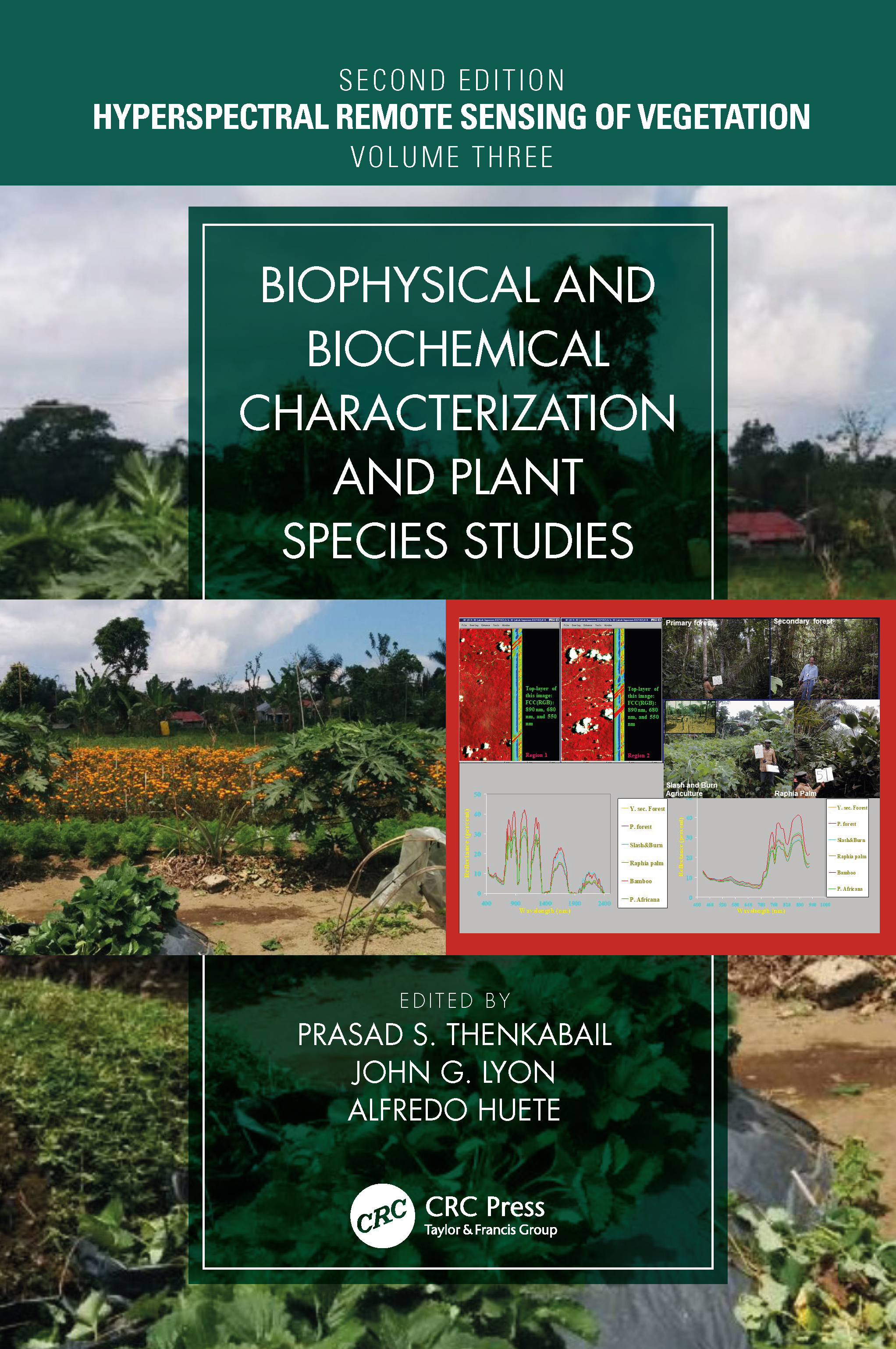
Hyperspectral Indices and Image Classifications for Agriculture and Vegetation
by Prasad S. Thenkabail
2020-09-02 14:50:18
Hyperspectral Indices and Image Classifications for Agriculture and Vegetation
by Prasad S. Thenkabail
2020-09-02 14:50:18
Written by leading global experts, including pioneers in the field, the four-volume set on Hyperspectral Remote Sensing of Vegetation, Second Edition, reviews existing state-of- the-art knowledge, highlights advances made in different areas, and prov...
Read more
Written by leading global experts, including pioneers in the field, the four-volume set on Hyperspectral Remote Sensing of Vegetation, Second Edition, reviews existing state-of- the-art knowledge, highlights advances made in different areas, and provides guidance for the appropriate use of hyperspectral data in the study and management of agricultural crops and natural vegetation. Volume II, Hyperspectral Indices and Image Classifications for Agriculture and Vegetation evaluates the performance of hyperspectral narrowband or imaging spectroscopy data with specific emphasis on the uses and applications of hyperspectral narrowband vegetation indices in characterizing, modeling, mapping, and monitoring agricultural crops and vegetation. This volume presents and discusses topics such as the non-invasive quantification of foliar pigments, leaf nitrogen concentration of cereal crop, the estimation of nitrogen content in crops and pastures, and forest leaf chlorophyll content, among others. The concluding chapter provides readers with useful guidance on the highlights and essence of Volume II through the editorsâ perspective. Key Features of Volume II: Provides the fundamentals of hyperspectral narrowband vegetation indices and hyperspectral derivative vegetation indices and their applications in agriculture and vegetation studies. Discusses the latest advances in hyperspectral image classification methods and their applications. Explains the massively big hyperspectral sensing data processing on cloud computing architectures. Highlights the state-of-the-art methods in the field of hyperspectral narrowband vegetation indices for monitoring agriculture, vegetation, and their properties such as plant water content, nitrogen, chlorophyll, and others at leaf, canopy, field, and landscape scales. Includes best global expertise on hyperspectral remote sensing of agriculture, crop water use, plant species detection, crop productivity and water productivity mapping, and modeling.
Less


